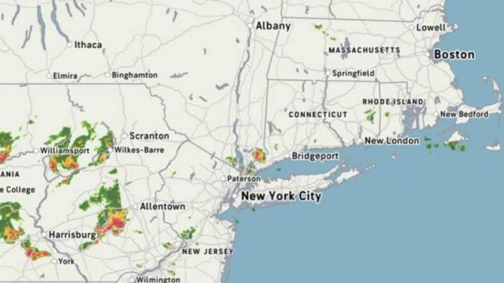
The first wave of back-to-back storms, some severe, is now sweeping through the Northeast from west to east.
Storms began to develop late Wednesday afternoon, June 25, as a strong front passed through. Thunderstorms and lightning have been observed in certain locations.
The second round is expected on Thursday, June 26.
The National Weather Service predicts that temperatures behind the system will plummet across the region.
Areas with highs in the triple digits earlier this week, such as New York, New Jersey, Pennsylvania, Connecticut, and Massachusetts, might experience readings in the 70s and 80s beginning Thursday.
Temperatures will moderate farther south, including in the District of Columbia, Maryland, and Virginia, beginning Friday.
The timing and intensity of each storm round may vary, but forecasters anticipate the most intense activity to coincide with elevated humidity levels along much of the I-95 corridor.
The forecast represents a significant change after a brief but intense burst of heat followed by weeks of damp, overcast weather.
While the sunny sky provided a change of pace, the rapidly rising temperatures left many wanting to chill down—and this week’s systems may finally deliver that balance.